We are very pleased to announce the addition of another layer to Know Your Place Worcester. The Worcester City Historic Building Applications collection is made up of more than 8900 records dating to the years 1865-1948. These records, which were deposited with the Worcestershire Archive by the City Council’s Planning Department, are an invaluable source of evidence for the development of the city during this period of very rapid expansion, and include detailed plans and elevation drawings of individual houses, estate developments and industrial buildings. This makes them a vital source for anyone wanting to research the history of an individual building or an area.
The mapped information builds on work undertaken by local historian David Attwood, who meticulously indexed and cross-checked planning applications from the early period up to 1901 and beyond. In 2010, the Worcester City Historic Environment Record worked with the Archives team at The Hive to photograph a large proportion of the records from this collection, digitally preserving them for the future. The project built on David’s painstaking work by assigning grid references to each record, so that they could be geographically searchable.
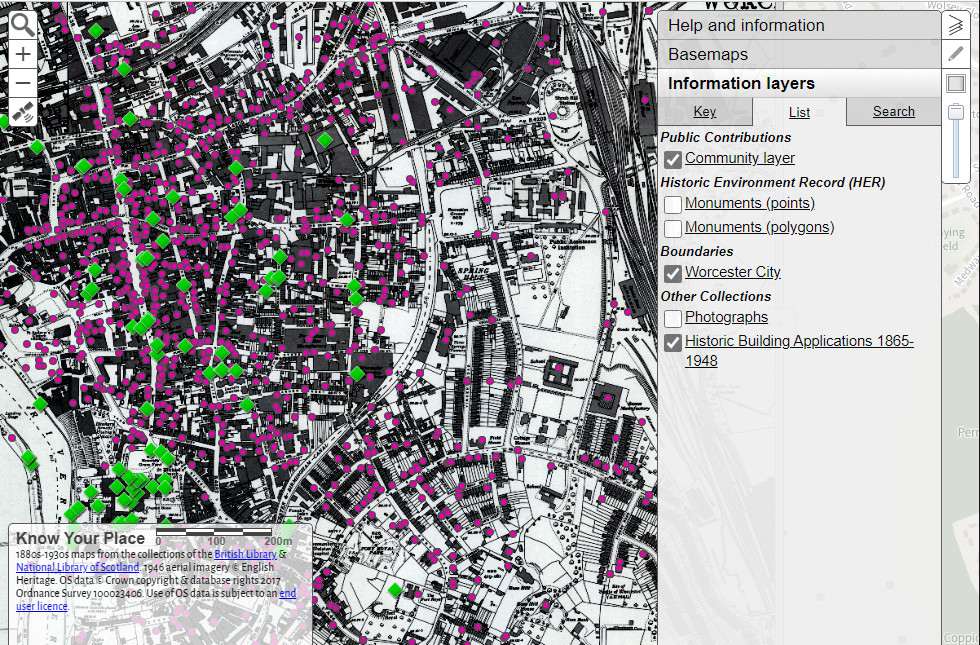
The resulting mapped index, can now be searched via Know Your Place Worcester by zooming to the location that you are interested in on the map. Many of the records are located to individual buildings (around 40%) with the rest searchable to a central street location. The database records details of ownership, the year in which development was proposed and a description of what was intended, whether that be a street full of houses, a factory or even the addition of an indoor WC! While the digital images aren’t yet available online, the database also indicates whether the record has been photographed, in which case you can contact the Historic Environment Record for further information via archaeology@worcester.gov.uk

This collection has enriched our knowledge of historic buildings within the city in a variety of ways over the years, whether that be for individual researchers wanting to find out about their home, through to our conservation officers advising on sympathetic restoration of Listed Buildings. It is really exciting to be able to make the digital map available online for the first time!
